The City of Ketchikan has been working to become designated as a tsunami-ready community for a few years. The sirens and signs are already in place, and to complete the designation, this week the city is doing tsunami outreach. A representative from the National Weather Service is in town to present information and answer questions.
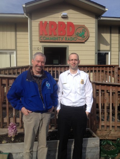
Warning Coordination Meteorologist, Joel Curtis’s first presentation in Ketchikan was to a group of students at Revilla Alternative School. Ketchikan Fire Chief and Emergency Manager Abner Hoage is accompanying Curtis this week to seven schools, civic groups and a public forum. “Sometimes you don’t know what you don’t know and we’re giving people a chance to learn what they don’t know about already.”
Starting with what a tsunami really is, besides a big wave. Curtis explained “ we’re all used to the waves we get let’s say out on Tongass Narrows that are wind waves, but those are surface waves they are only at the surface of the ocean. The tsunami is the entire depth of the ocean and that what makes it so very very strong and to have such an impact when it hits.”
Many people know earthquakes can cause tsunamis, but Ketchikan is fairly protected from the open ocean by outlying islands. Hoage worries about another tsunami trigger for Revilla Island: a landslide into deep water. In that case, there wouldn’t be much warning time, so people would need to know how to react.
Curtis offered two pieces of advice,”if we have a really strong earthquake, you want to drop cover and hold.” Meaning drop to the ground, take cover under a strong table and hold on to that table so it doesn’t shake away. The second is, “if you are on the beach and you feel an earthquake that lasts 20 seconds or more. 20 seconds or more in an earthquake is an eternity. Or you had difficulty standing up do not wait for a warning go immediately to higher ground.”
Curtis said that any elevation gain will help protect you, but recommends at least 100 feet.
The best warning sign for a possible tsunami is a long-lasting earthquake, but there are few others.
“Another one is that in a good number of tsunamis, but not all of them, you’ll see the water draw back. What I mean by the water draw back is that the water will go out and it will seem like a very low or maybe the lowest tide you ever saw.” People could be tempted to use the low tide to look for fishing gear or maybe a lost knife, which Curtis says is just the time not to.
“Another one is the roar of the wave as it’s coming. Tsunamis don’t have a very clean, nice wave front when they’re arriving. It’s more like a frothy foaming thing, but it’s solid water and it has a lot of force and because of that force, it will make a roaring sound.”
The last major tsunami in Southeast Alaska was in 1964 -the result of the Good Friday earthquake.
“A tsunami is really a rare event, there’s no doubt about it, but it’s very, very high impact. If we get a tsunami , it’s going to do a lot of damage in Southeast Alaska.” Curtis says that despite a low tsunami risk in Ketchikan, the risk is still there; and there is a greater risk in other coastal areas in Southeast such as Prince of Wales Island that face the open ocean.
There will be a tsunami presentation open to the public on Wednesday at 6pm at the Discovery Center. Abner Hoage says Ketchikan may be presented its certification of tsunami preparedness at a tsunami workshop held in town next week for 22 Southeast communities.

