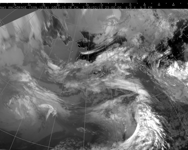
National Weather Service satellite image June 2, 2015.
Ketchikan set weather records last month. May 2015 is officially the driest May on record with only 0.68 inches of rain recorded in the First City. Forecaster Kimberly Vaughan is with the National Weather Service in Juneau.
“The previous record was 2.12 inches and that was set back in 2010. The average temperature was also above normal by 1.1 degrees. The average temperate (last month) was 54.9 degrees.”
She says the previous record average temperature for May, 53.8 degrees, occurred in 1912.
While May was dry, Vaughn says June should see wetter weather.
“We are seeing a pattern change, we got high pressure that was dominating over the Gulf (of Alaska), which was blocking out all of our precipitation and giving us that warmer than normal and dryer than normal scenario. That is breaking down and we should see more normal and typical Southeast weather returning starting tomorrow.”
Vaughan says the long-term forecast for the summer is for warmer and dryer than normal weather. She says that doesn’t necessarily mean only sunny skies.
“It does not mean that we won’t see precipitation at all, it just means that there are better chances for warmer and dryer than normal.”
Looking at the near forecast, the National Weather Service predicts cloudy skies with a chance of rain on Wednesday and rain likely Thursday.