
Record low temperatures were recorded in Ketchikan Christmas weekend and even colder temperatures are expected in the new year. That’s according to Ben Linstid, a meteorologist with the National Weather Service in Juneau.
“Zero degrees was the new record set on both days, and the old records were 6 degrees in 1964 on Saturday, and 5 degrees all the way back in 1917 on Sunday.”
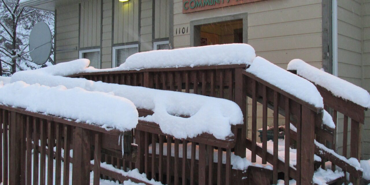
In addition to the cold, snow moved in late Sunday night with 2-3 inches reported. Linstid says it was a quick-moving storm. Clear skies were expected Monday night and Tuesday with highs in the 20s and lows in the teens. Still cold, but significantly warmer than last weekend.
Linstid says snow is forecast to return by Wednesday morning with another 2-3 inches expected.
“Another quick break Thursday into Friday morning. But this is your heads up…New Year’s Eve it looks like there’s a bigger storm on the horizon.”
Linstid says meteorologists are still analyzing the data to determine if there will most likely be snow or a mix of rain and snow. He says there will be slightly warmer temperatures up until New Year’s Eve, but current predictions indicate below zero temperatures early in the new year.
“They are advertising much below what we just had. So we’ll see how that evolves as the week continues.”
Linstid says current conditions are influenced by La Niña – a weather pattern characterized by unusually cold ocean temperatures in the Equatorial Pacific that affects weather globally. He says current predictions indicate January will be colder than normal with about normal precipitation.


