
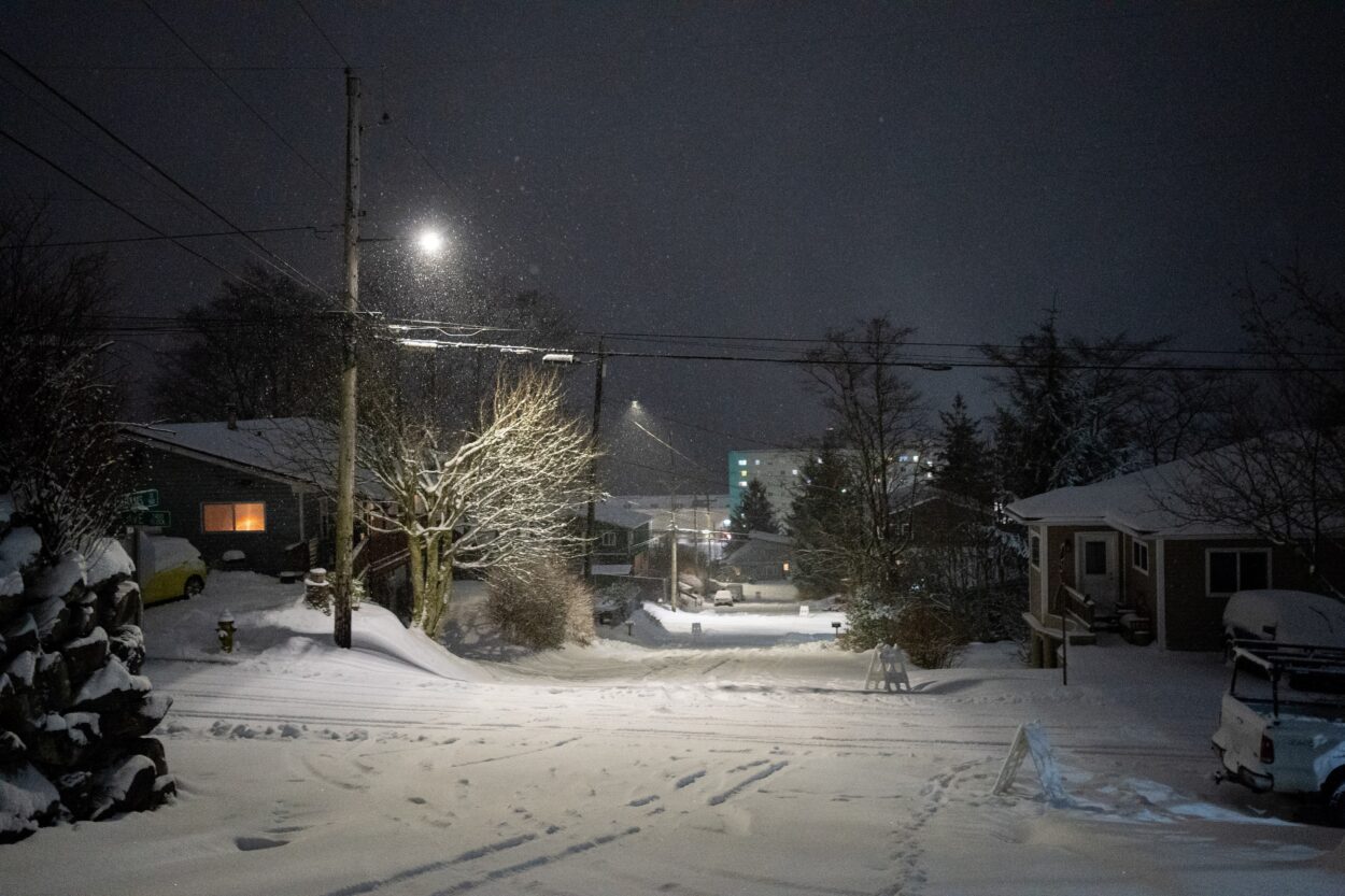
It’s the second day that Ketchikan-area schools have been canceled for snow that began on Tuesday morning.
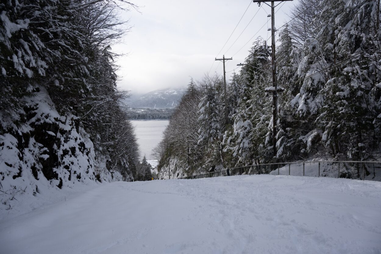
Snow in February is normal but by 8 am Wednesday, downtown Ketchikan was coated in a fluffy 12-inch layer of white. At least three more inches are expected over the course of the storm, according to the National Weather Service in Juneau. Over on Annette Island, Metlakatla got 8.6 inches in the same timeframe, beating out the community’s normal monthly average of 7.3 inches in February.
Meteorologist Rick Fritsch says that this much snow though is shocking.
“So the fact that you got 12 inches out of one storm at the tail end of February, which is more than the entire monthly normal for February is pretty remarkable,” he said in a phone call.
The cause of this winter squall is a low out in the Gulf near Yakutat that is rotating bands of snow showers over Southeast Alaska.
Not only is this single storm more than Ketchikan’s average snowfall for the whole month, Fritsch says it’s a little over a third of the entire annual snowfall – in one storm.
Across Alaska, Fritsch says it has been a strange winter, with Juneau and Anchorage both breaking snowfall records.
Ketchikan can often get what people have coined “heart attack snow” – the thick, heavy, moist stuff that can be a danger to shovel. Fritsch says the snow currently piling up across the panhandle isn’t that – it’s drier and lighter.
“This place wears snow very, very well. The trees are all covered in snow and the picture outside looks like the cover of a Mannheim Steamroller winter album,” Fritsch joked.
Get in touch with the author at jack@krbd.org.


