
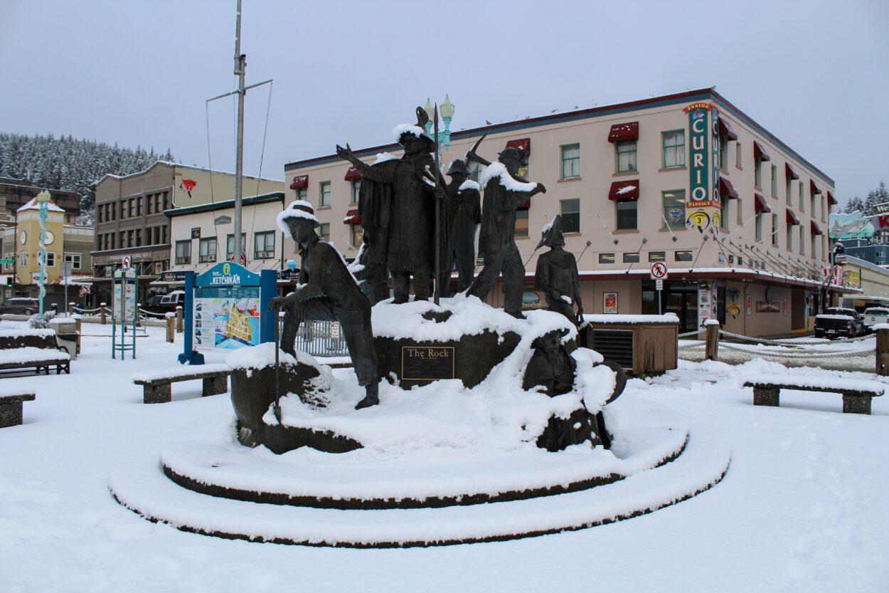
Ketchikan and the surrounding region woke up Friday to a surprising amount of snow blanketing the roads, buildings and trees. The National Weather Service had forecasted little to no overnight snow accumulation, but many parts of town had half a foot before breakfast.
Andrew Park is the meteorologist in the Juneau office who put together those forecasts.
“Seven inches of snow in Ketchikan was not on my bingo card last night,” Park said.
Park, who lives in Juneau, said when he took his dog out early this morning and saw it was snowing, he knew something was off. Juneau saw less snow than the southern panhandle, but was also not expecting the few inches it got.
Park said he knew some of the conditions for snow were in play, but their models underestimated the moisture in the atmosphere.
“I thought the moisture wouldn’t be there, and it was,” Park said. “So that was me scrambling out the door this morning, going ‘Uh-oh!’”
By midday, trained weather spotters in Ketchikan had measured five to seven inches of snow. Park said the Weather Service is grateful for citizen reports, and encourages people to contact them if they’re seeing something different than the forecasts.
The main difficulty with accurately predicting Southeast Alaska weather, Park said, is the region’s size.
“We have a very large area, and we miss things,” Park said. “And that’s just an unfortunate [consequence] of, our area’s the size of Florida, and Florida has like, seven offices. So every day is a triage of, what’s going to kill you first?”
That challenge is compounded by the area’s complex terrain and varying microclimates. Their office also doesn’t have all the same forecasting tools as their Lower 48 counterparts, Park says.
Southeast will likely see a few more inches of snow Saturday and Sunday, with higher expected totals in the northern panhandle prompting a winter storm watch. Enjoy the snow while it’s here, because it’s forecasted to turn to heavy rain and wind by early next week.


