
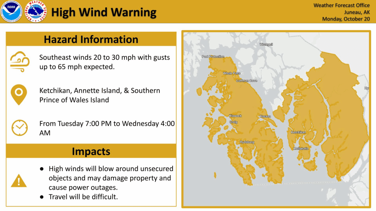
There is a High Wind Warning in effect for Ketchikan, Metlakatla and communities of Prince of Wales Island. Winds are expected to hit hardest in Hyder, Craig and Klawock. Storm gust winds are expected on the inner channel — from Clarence Strait up north to Chatham Strait near Baranof Island.
Southeast winds started around 3 p.m. today and are expected to peak from 7 p.m. to 1 a.m. up to 65 miles per hour. Heavy rains are expected along that front, as well.
Andrew Park is a meteorologist with the National Weather Service in Juneau. He says even though it’s not the strongest storm we’ve seen this time of year, it’s still pretty windy.
“The trees are going to be moving pretty good,” Park said. “Your windows are going to be flexing. If you have boats at docks or something, check on the lines, it’s going to be able to move things.”
Park urges people to not get complacent and put any belongings inside or tie them down — including Halloween decorations.
“I know there’s a lot of Halloween decorations, like, when I walk home from work here, there’s a lot of skeletons and things,” Park said. “Take time right now, Tuesday afternoon, to secure any loose objects, because there’s a pretty good probability that they’re going to be blown away,”
Strong winds are expected to back off a bit Wednesday to around 20-30 miles per hour, with a chance for thunderstorms.


